Togo To Replace School Maps With New Projection Showing Africa’s True Size

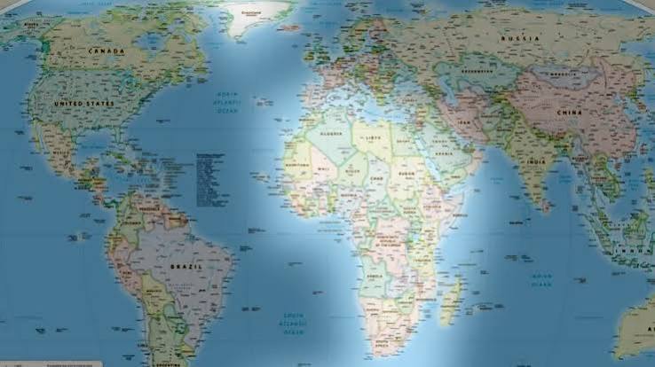
Togo plans to update its school geography materials by the end of 2026 following a United Nations General Assembly resolution promoting maps that more accurately represent the size of Africa and other regions.
Foreign Minister, Robert Dussey, said Togo would become the first country to introduce the Equal Earth projection into its geography books.
The resolution, sponsored by Togo on behalf of the African Group, was adopted with 164 countries voting in favour, while the United States voted against and six countries abstained.
Equal Earth preserves the relative size of land masses, unlike the widely used Mercator projection, which makes areas closer to the poles appear disproportionately large.
Dussey said Togo would encourage other governments, schools, international organisations and technology companies to adopt more accurate map projections.
The resolution is not legally binding and does not require countries to abandon the Mercator projection, which remains useful for maritime and aerial navigation.
The African Union welcomed the move, saying it would promote a more accurate representation of Africa and encouraging educational institutions, publishers and digital platforms to support the initiative.
However, the United States opposed the resolution, describing it as an ideological exercise and questioning the United Nations’ focus on the issue.